
Data and Maps
Data and Maps
A major role of the Conservation District is to protect the natural resources, water quality, and water quantity in Adams County. Staff assist landowners, teachers, and organizations through a variety of Programs and projects which may range from installing agricultural best management practices (BMP's) on farms to planting riparian buffers to assist local watershed groups. Some information is provided below to help others understand the County's natural resources and how to protect them.
Back to Conservation District
Home Page
Watershed Information
The District's Watershed Specialist administers watershed-related activities and assists with projects that improve the overall quality and quantity of water resources in Adams County.
What is a Watershed?
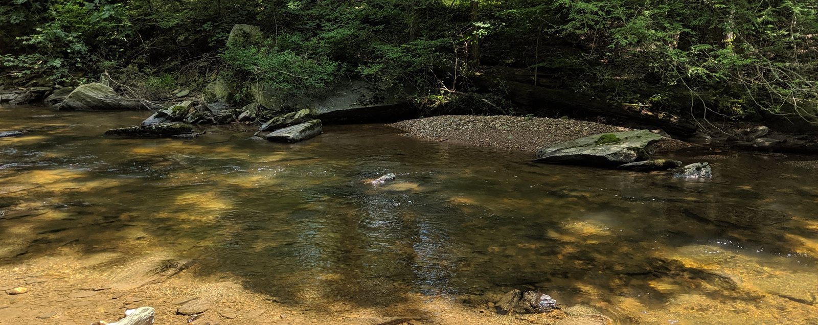
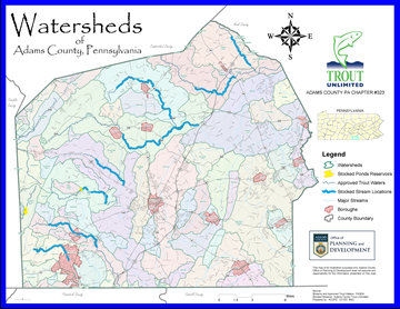
A watershed is an area of land that drains into a stream, river, or body of water. No matter where you are, you are in a watershed! Adams County is divided into two major watersheds that flow into the Chesapeake Bay: the Susquehanna River Watershed and the Potomac River Watershed. Within each of the major watersheds, there are tributary streams. These tributaries each have their own watershed. These are considered sub-watersheds of the major watersheds. The Conewago Creek is the largest sub-watershed in the County and it drains to the Susquehanna River. Adams County has over 1,300 miles of streams. Virtually every stream that flows in Adams County originates within the county. We are the headwaters for the Chesapeake Bay.
Partner Resources
Information and data from some of our partnership agencies and organizations: